
Keywords
These heritage imaging keywords connect ideas across sessions. When a speaker returns to a topic, that session is listed under the same keyword, so you can follow one idea from talk to talk.
Multispectral imaging
Imaging in infrared and ultraviolet light, beyond the visible range of roughly 400 to 700 nm, to reveal underpaintings, varnishes, alterations, hidden signatures and possible forgeries.
Sessions:
- Session 1, 20 October 2026: Digital Heritage Preservation: An Overview (Moshe Caine)
- Session 2, 3 November 2026: An Introductory and Historic Overview of the Role of Imaging in the Conservation of Museum Collections (Sharon Tager)
- Session 3, 10 November 2026: The Application of Advanced Imaging Technologies in Archaeology (Shai Halevi)
Reflectance Transformation Imaging (RTI)
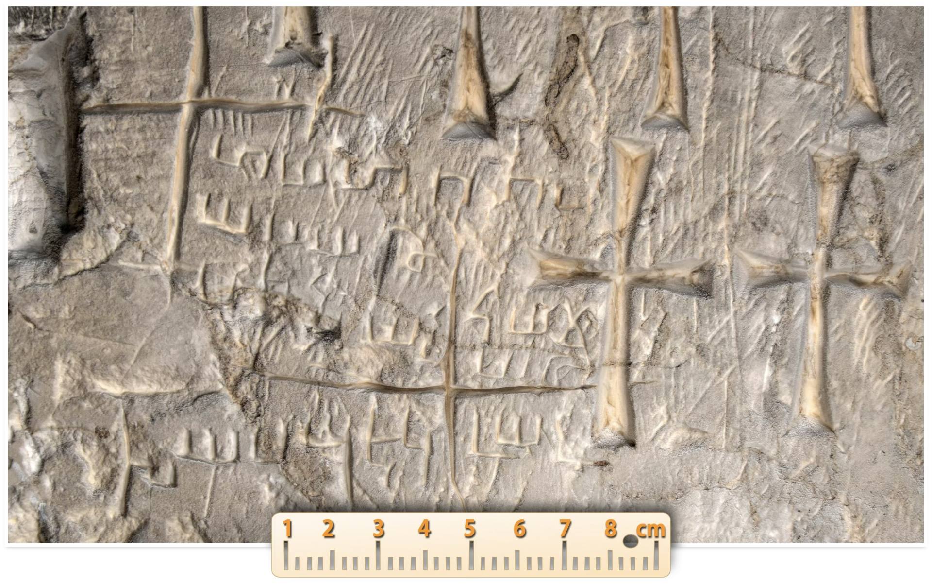
Interactive relighting of an object from a set of photographs, revealing text, scratches, grooves and surface topography.
Sessions:
- Session 1, 20 October 2026: Digital Heritage Preservation: An Overview (Moshe Caine)
- Session 3, 10 November 2026: The Application of Advanced Imaging Technologies in Archaeology (Shai Halevi)
Photogrammetry
3D models built from overlapping photographs, for subjects from cities to small seals.
Sessions:
- Session 1, 20 October 2026: Digital Heritage Preservation: An Overview (Moshe Caine)
- Session 2, 3 November 2026: An Introductory and Historic Overview of the Role of Imaging in the Conservation of Museum Collections (Sharon Tager)
- Session 3, 10 November 2026: The Application of Advanced Imaging Technologies in Archaeology (Shai Halevi)
Laser scanning and LIDAR
Measuring and viewing an object from multiple directions without touching it; LIDAR supports documentation of structures beneath dense vegetation.
Sessions:
- Session 1, 20 October 2026: Digital Heritage Preservation: An Overview (Moshe Caine)
- Session 3, 10 November 2026: The Application of Advanced Imaging Technologies in Archaeology (Shai Halevi)
Gaussian splatting
A rapidly developing 3D imaging technique.
Sessions:
Gigapixel and 360 degree imaging
Gigapixel images allow interactive examination from the whole object down to fine detail; 360 degree images create a spatial viewing experience while remaining two-dimensional.
Sessions:
CT scanning
Scanning used to study fossils and historic objects and, combined with AI, to digitally unroll fragile scrolls without opening them.
Sessions:
Rollout photography
Flattening a cylindrical object so that its full narrative can be seen at once.
Sessions:
Reconstruction
Rebuilding lost or damaged heritage from scans, photographs, diagrams, sketches, paintings and written descriptions.
Sessions:
Authenticity and integrity
Keeping original material, restoration and conjecture clearly separate, and documenting processing so that others can repeat it.
Sessions:
- Session 1, 20 October 2026: Digital Heritage Preservation: An Overview (Moshe Caine)
- Session 2, 3 November 2026: An Introductory and Historic Overview of the Role of Imaging in the Conservation of Museum Collections (Sharon Tager)
- Session 3, 10 November 2026: The Application of Advanced Imaging Technologies in Archaeology (Shai Halevi)
Digital longevity
The open question of how long digital files, formats and metadata will survive.
Sessions:
- Session 1, 20 October 2026: Digital Heritage Preservation: An Overview (Moshe Caine)
- Session 3, 10 November 2026: The Application of Advanced Imaging Technologies in Archaeology (Shai Halevi)
AI and heritage
AI helps read damaged scrolls, reconstruct lost information and explain results to different audiences, and it also threatens authenticity and trust.
Sessions:
- Session 1, 20 October 2026: Digital Heritage Preservation: An Overview (Moshe Caine)
- Session 3, 10 November 2026: The Application of Advanced Imaging Technologies in Archaeology (Shai Halevi)
Data ownership and access
Who owns heritage data and who can reach it, including multimodal data that combines geometry, imaging and text.
Sessions:
Non-invasive documentation
The principle of documenting, measuring and studying heritage objects with as little physical contact as possible, to reduce the risk of damage.
Sessions:
- Session 1, 20 October 2026: Digital Heritage Preservation: An Overview (Moshe Caine)
- Session 2, 3 November 2026: An Introductory and Historic Overview of the Role of Imaging in the Conservation of Museum Collections (Sharon Tager)
- Session 3, 10 November 2026: The Application of Advanced Imaging Technologies in Archaeology (Shai Halevi)
Decorrelation stretch
A processing technique that amplifies subtle color differences the eye cannot see, with particular uses in rock art and archaeology.
Sessions:
Digital duplication and 3D printing
Making highly accurate replicas of heritage objects, including tactile reproductions that let visually impaired people experience their form and structure.
Sessions:
- Session 1, 20 October 2026: Digital Heritage Preservation: An Overview (Moshe Caine)
- Session 2, 3 November 2026: An Introductory and Historic Overview of the Role of Imaging in the Conservation of Museum Collections (Sharon Tager)
X-radiography
Imaging with X-rays that pass through an object to show what lies beneath the surface, such as earlier compositions, the structure of a panel or canvas, and internal repairs.
Sessions:
Ultraviolet fluorescence
Examining an object under ultraviolet light, where some materials glow in a characteristic way, revealing varnish layers, retouching and certain pigments and dyes.
Sessions:
Infrared reflectography
Infrared imaging that passes through many paint layers to show the underdrawing and changes in a composition.
Sessions:
Raking light
Lighting a surface from a low angle to bring out texture, tool marks and faint inscriptions.
Sessions:
X-ray fluorescence mapping
Mapping where chemical elements are found across a surface to identify pigments; the colors of the map are not the colors of the paint.
Sessions:
Canvas weave analysis
Measuring thread counts from X-rays of paintings; matching weave patterns show that canvases were cut from the same roll.
Sessions:
Photometric stereo
Combining images taken with light from several directions to calculate the shape of a surface and measure small changes over time.
Sessions:
Reversibility
The principle that conservation materials and reconstructions can be undone, so future generations can revisit decisions as knowledge changes.
Sessions:
Georeferencing
Tying images and 3D models to real-world coordinates, so measurements stay accurate and separate sites can be joined into one map.
Sessions:
Salvage excavation documentation
Recording a site excavated ahead of construction, where the documentation becomes the lasting record once the site is gone.
Sessions:
Paradata
The record of how documentation was made: who did it, when, under which conditions and with which equipment.
Sessions:
Color calibration
Controlling light and color with targets and fixed color profiles, so images taken years apart can be compared reliably.
Sessions: